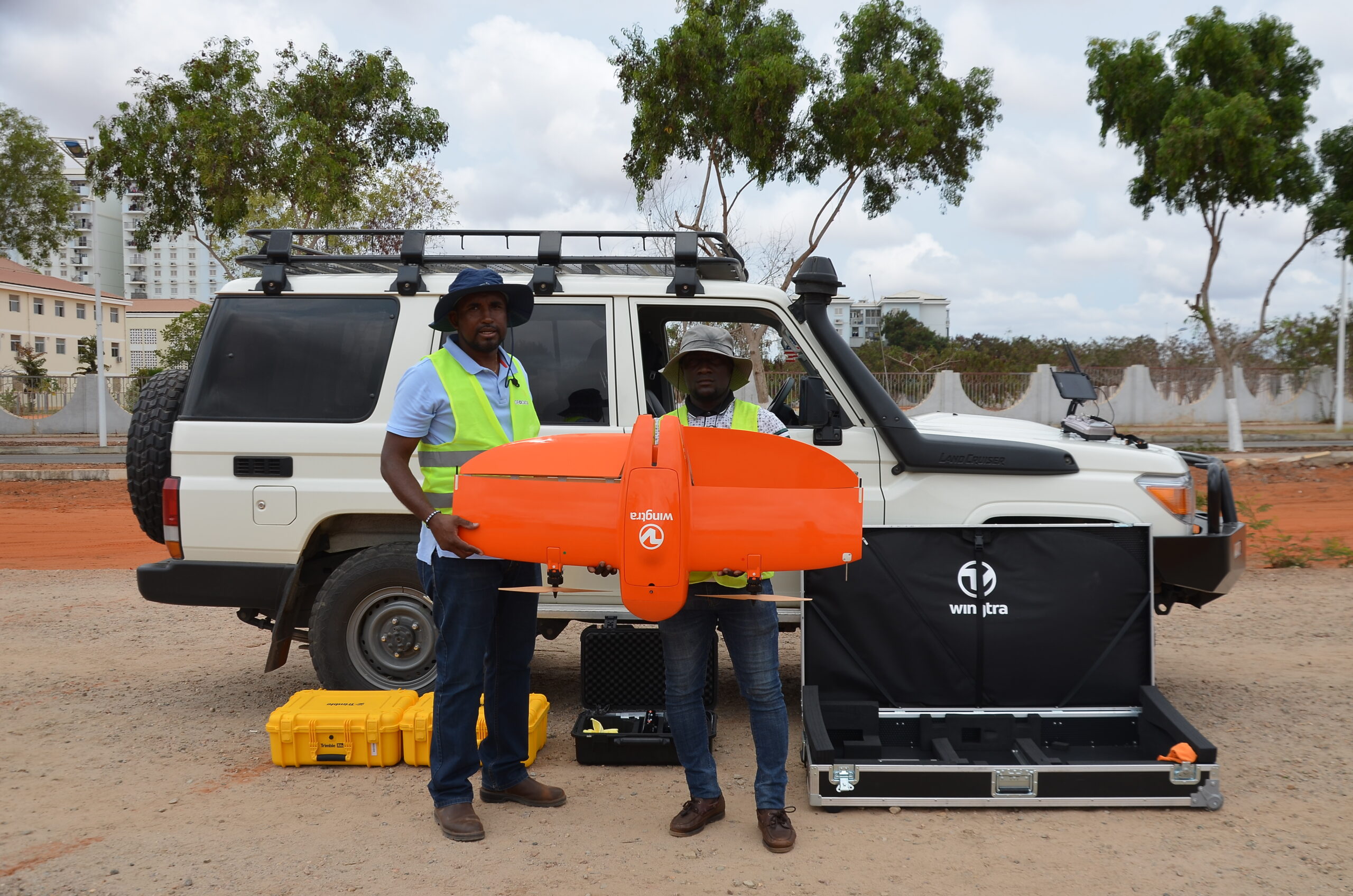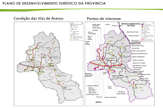
7 STUDIES AND PROJECTS FOR MALANJE PROVINCE, ANGOLA
Geo Data executed a land survey together with a local team…
7 STUDIES AND PROJECTS FOR MALANJE PROVINCE, ANGOLA
Geo Data executed a land survey together with a local team…
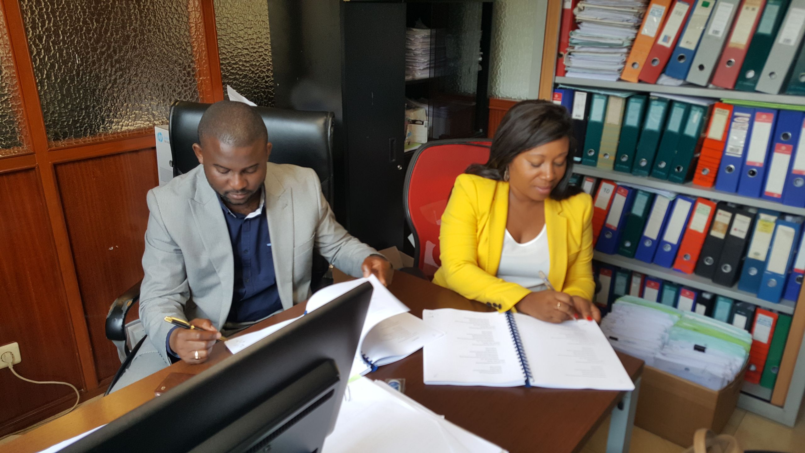
Read MoreIn line with its decision to systematize and regularize property and land registration, Congo’s government called upon Geo Data to develop and implement the second phase of a national land registry project covering its five largest cities — Brazzaville, Pointe-Noire, Dolisie, Nkayi and Ouesso.

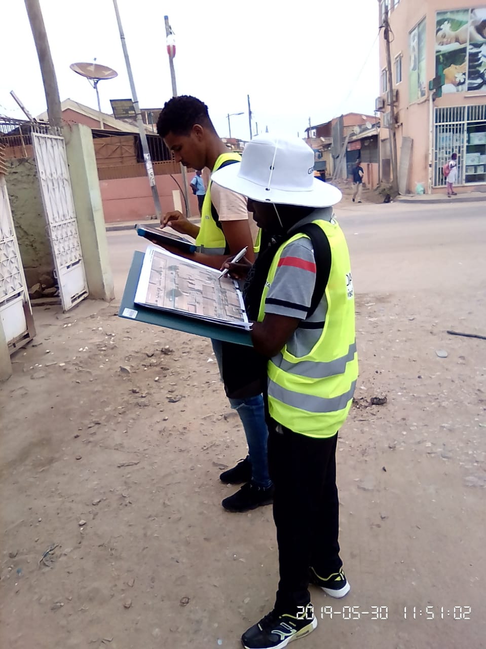
Congo’s existing institutional methodologies and technologies were unsuitable for dealing with exponential urban growth. Most parcel boundaries could not be recognized in aerial surveys due to roof overlaps and missing walls and/or fences, and legal records were seriously out-of-date. Furthermore, Congo’s Cadaster, Municipality and Registration offices were not sharing data.

To create property and ownership files, and develop a tailor-made geomatics entity to serve government in efficient land and property registration and legalization, Geo Data developed a fit-to-purpose methodology. We surveyed more than 500,000 parcels and addresses and developed a modern address system, along with a custom-made geographic information system (GIS) of property and owner files.

New infrastructure and geodetic equipment were delivered. Geo Data specialists digitized and geolocated document archives, to implement a national geographic database and web portal to enable government institutions to share information and increase the efficiency of tax collection. Geo Data also provides ongoing technical assistance, technological knowledge transfer, and training for key local team members

The project provided Congo with a new level of accurate, efficient land and property right registration and management, paving the way for full urban cadaster, improving tax revenues and creating new jobs for local staff members