Geographical infrastructure enables countries to plan and manage activities in various aspects of land delimitation and registration, providing national and local authorities with powerful web-based resources and applications. Geo Data was called upon to renovate and maintain 18 provincial GNSS stations, in order assure highly accurate geodetic measurements
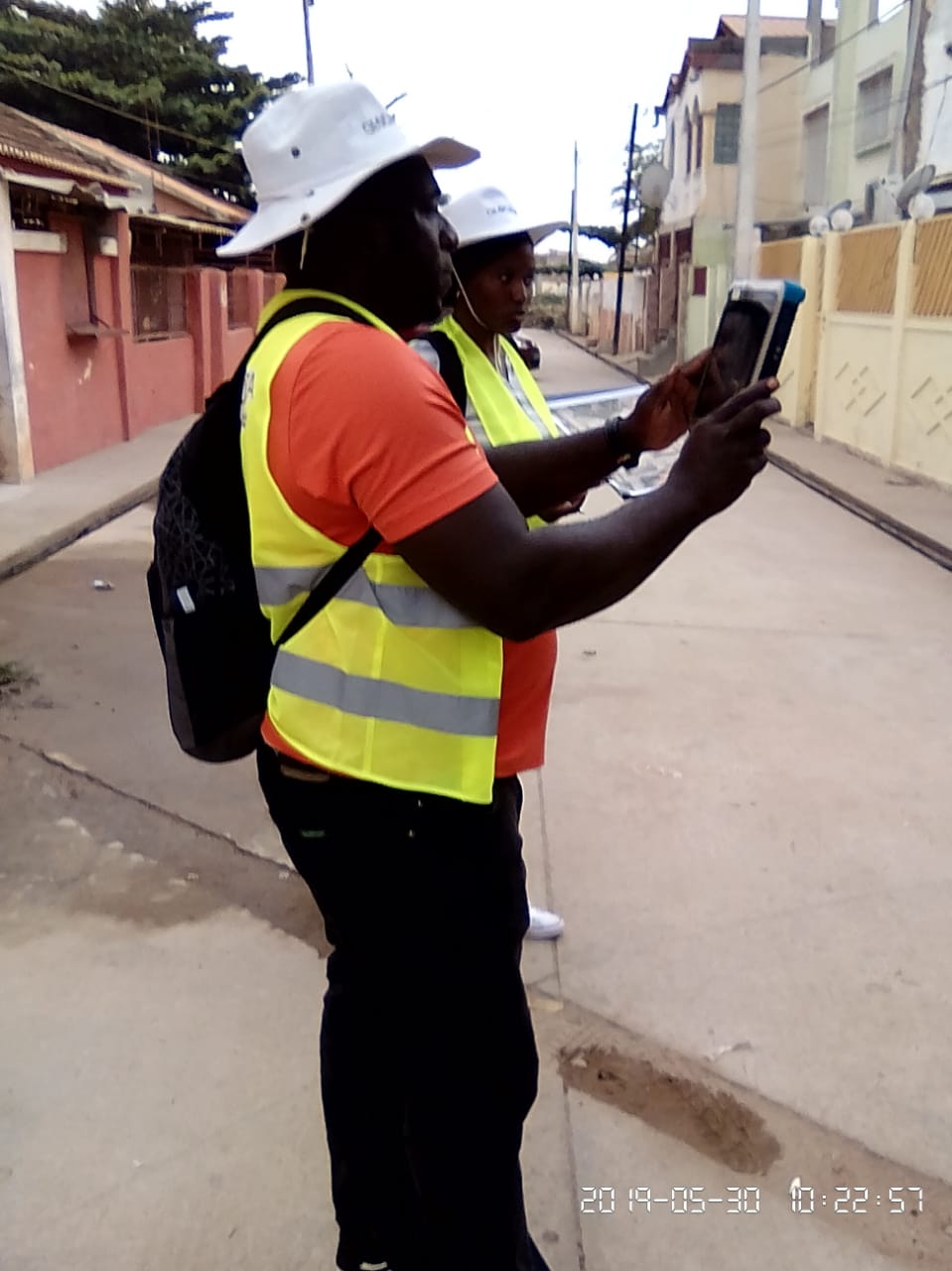


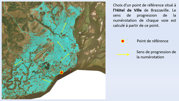
Executing such a project required Geo Data to define, reveal, collect and digitize reliable historical documents, maps and other information and consolidate them into an easily accessible database.

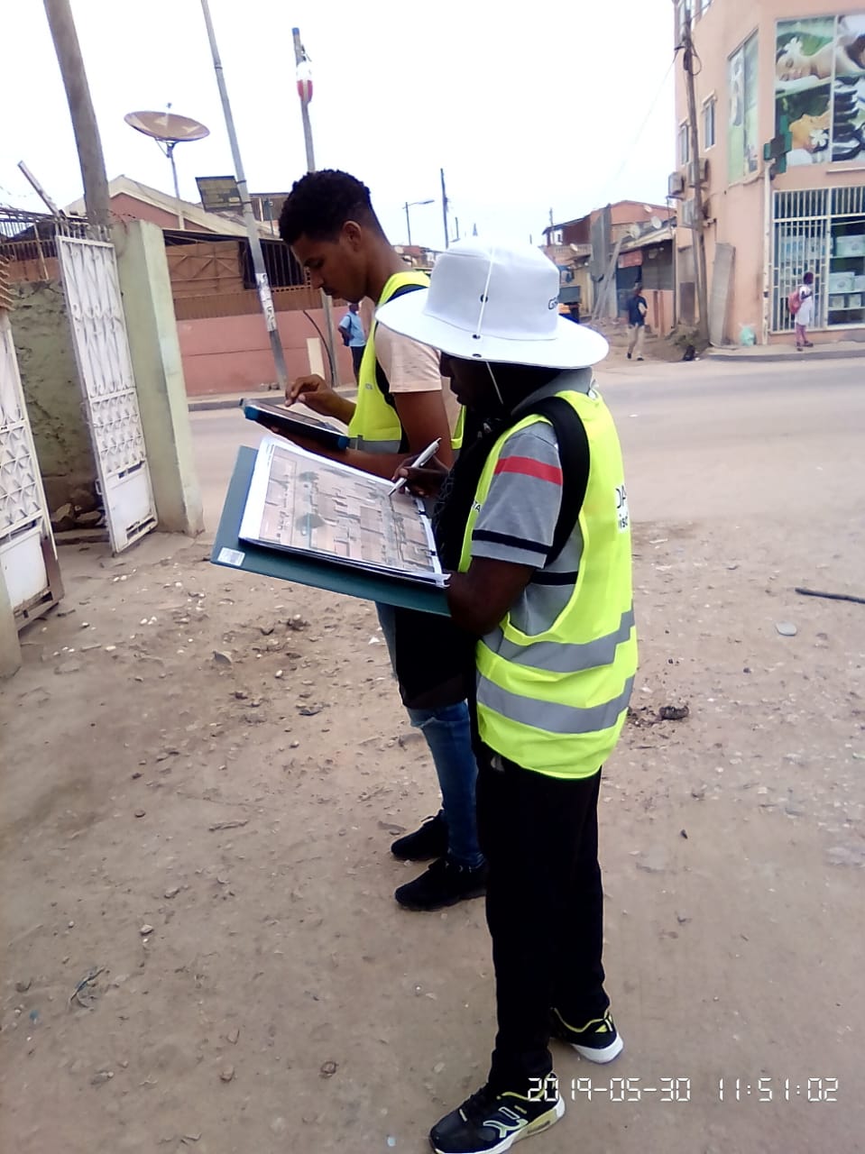
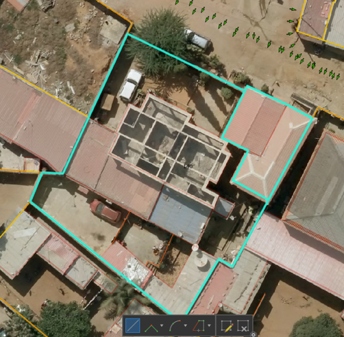
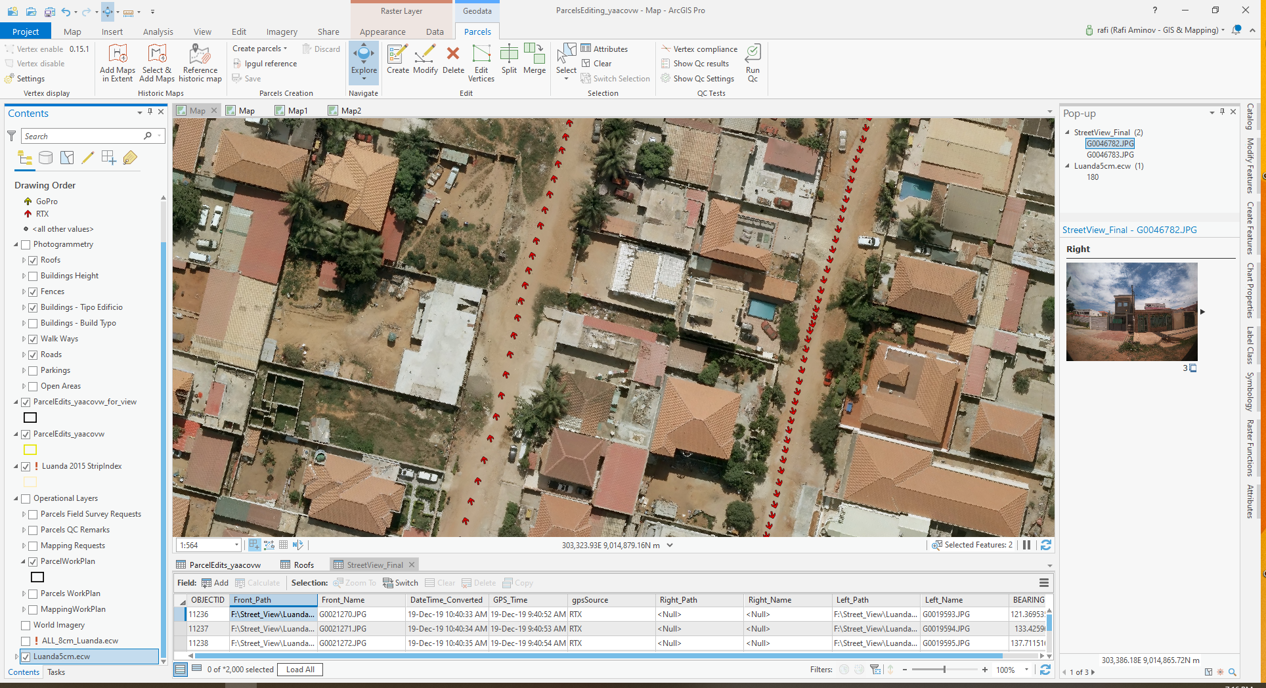
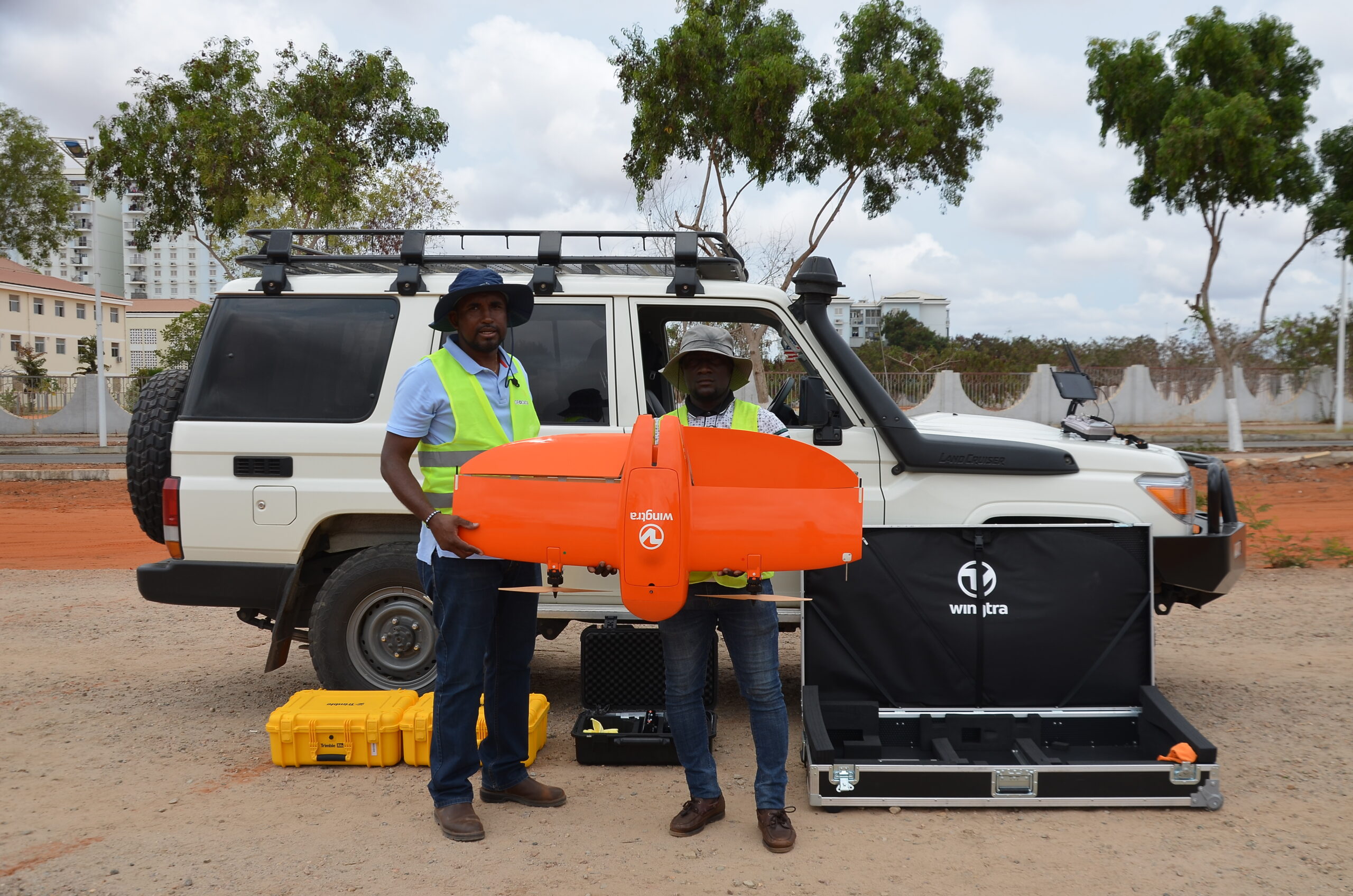
Skilled Geo Data staff worked with cutting-edge technologies to develop everything from scratch, from geodesy control points to data collection software. Using razor-sharp, cost-effective mapping from drones, aerial and field surveys, along with state-of-the-art geodetic networks, we worked to create an accurate, up-to-date geographical infrastructure

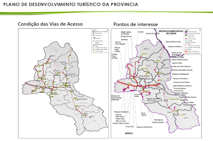
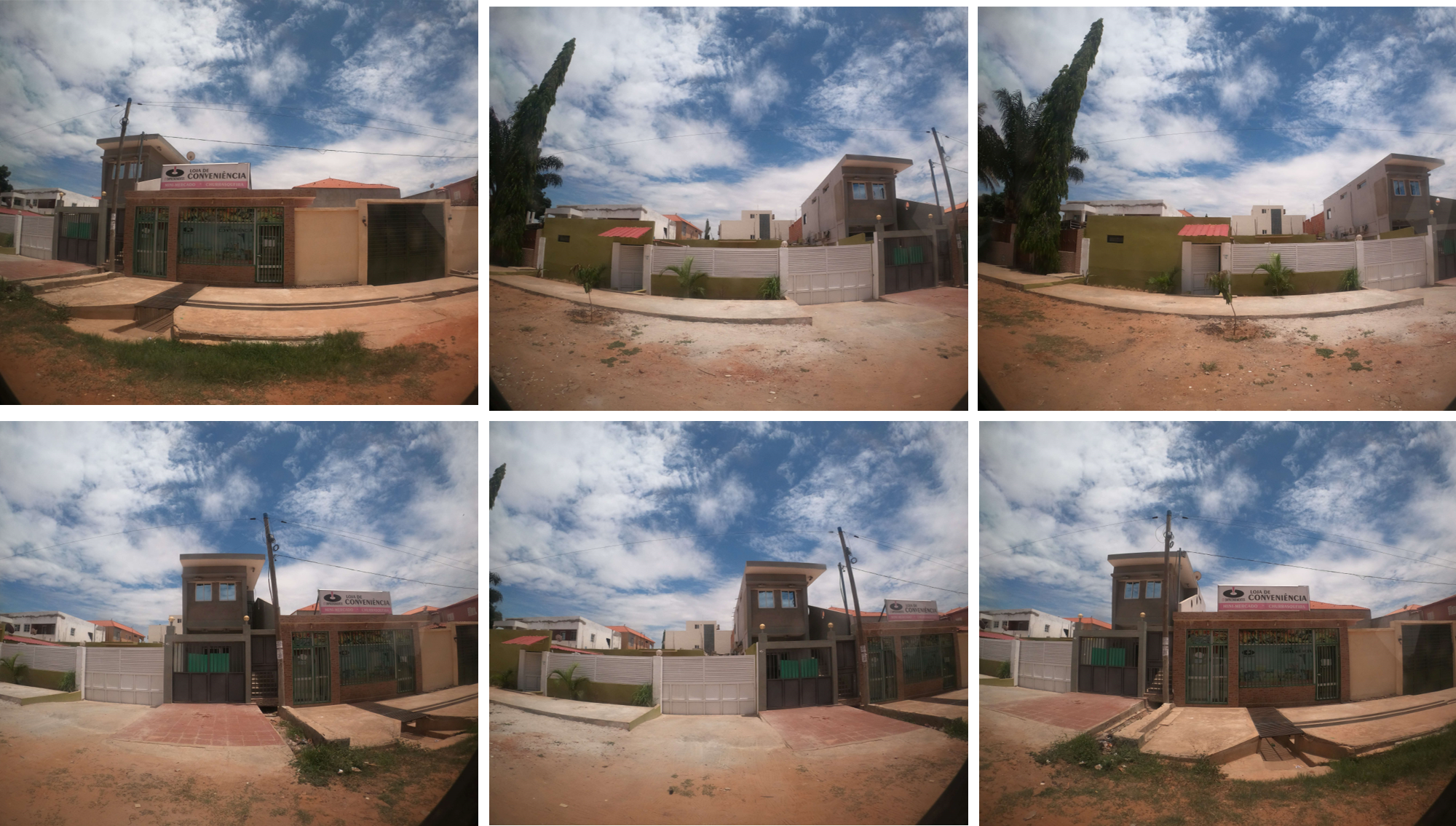
Geo Data provided high-resolution 3D visualization and mapping of some 3,000 km² as the basis for a photogrammetric process. A constantly updated address database of more than 50,000 structures, updated road names, photos of building facades, points of interest, elevation models and natural resources, created an impressive bank of knowledge, while saving time and reducing expenses.

The project provides national and local authorities with applications for planning, controlling and managing their resources, now and into the future, as the nation continues to develop.