The legalization and regularization of land rights and property ownership is a strategic government priority. Geo Data was called upon to establish a nationwide cadastral system and database for Angola’s urban areas, covering some 360 square kilometers and 400,000 individual parcels.
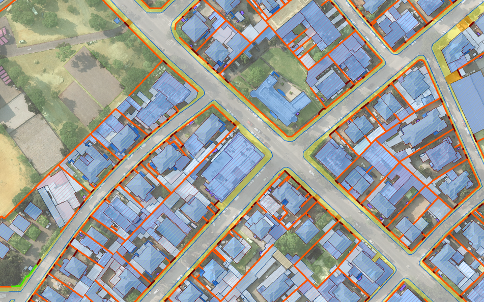

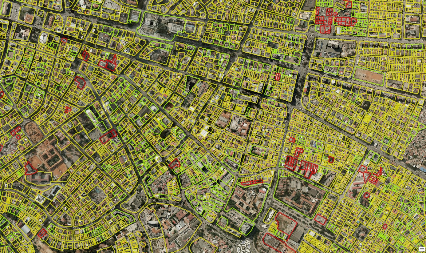

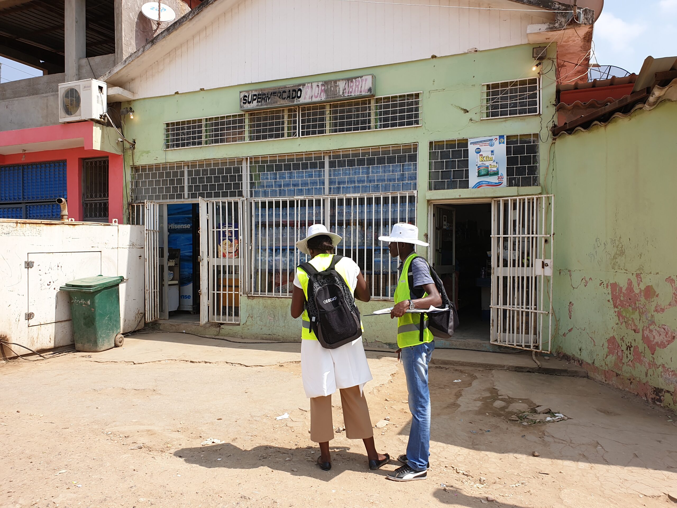


Geo Data had to design and implement the national cadaster database in a relatively short period of time, covering complex, dense and often irregular urban areas without sacrificing accuracy.

Using parcel boundaries determined by its expert surveyors, along with high-resolution aerial imagery and, photogrammetric mapping, Geo Data developed a well-defined methodology and efficient production line, along with a tailor-made, user-friendly web-based GIS system
accessible to all relevant authorities.

By integrating historical maps and addresses with current data, we created an integrated system based on accurate parcel-based land information. In addition, we developed a tailor-made, user-friendly, web-based GIS system that provides users with advanced editing and quality-control tools and the ability to distribute cadaster data via a web-based GIS system.

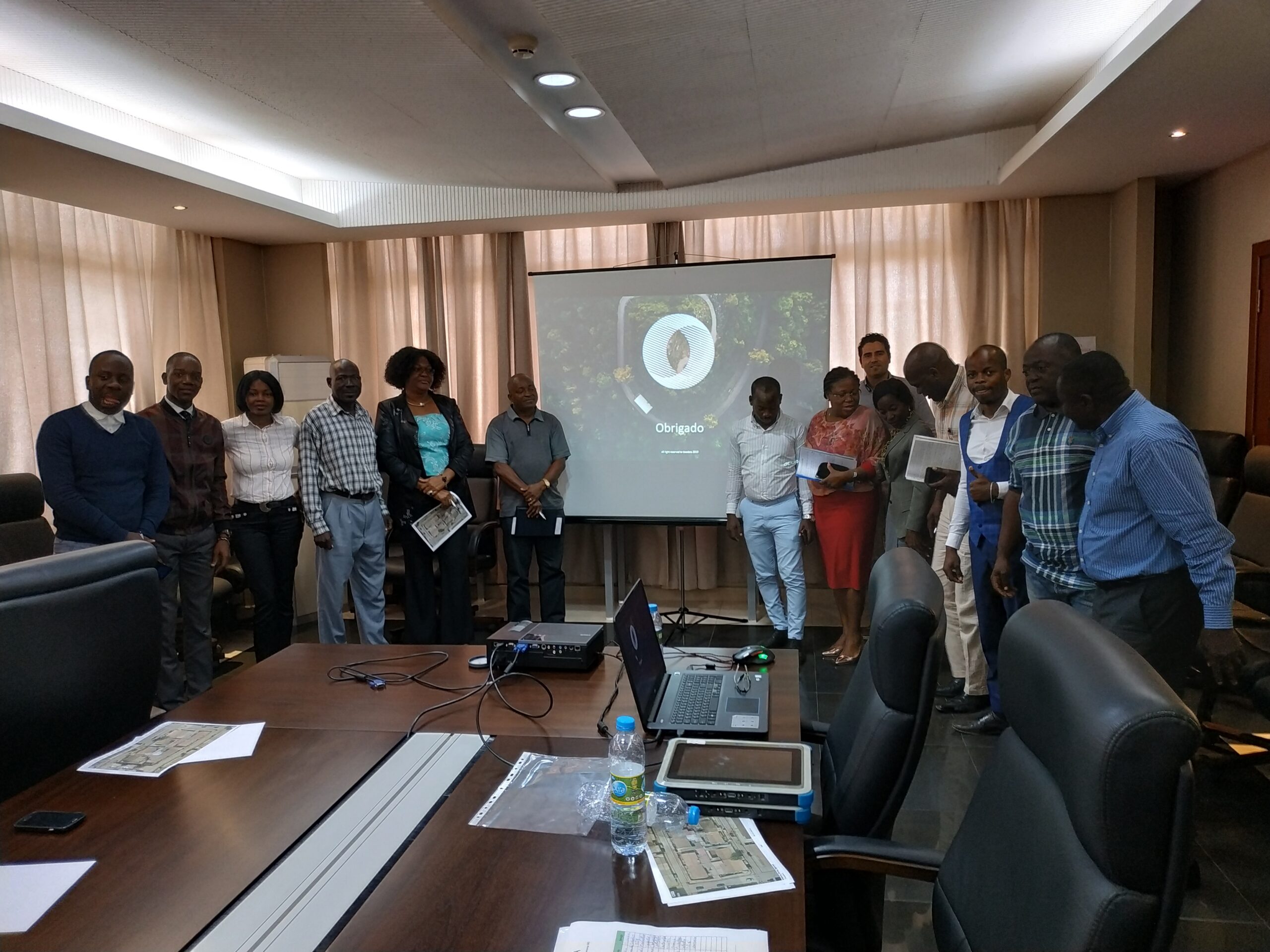
The cadaster system gives Angola’s government the basis for nationwide land management, ownership and property rights registration, while creating new employment opportunities for local staff. These are crucial for future development and decision making.